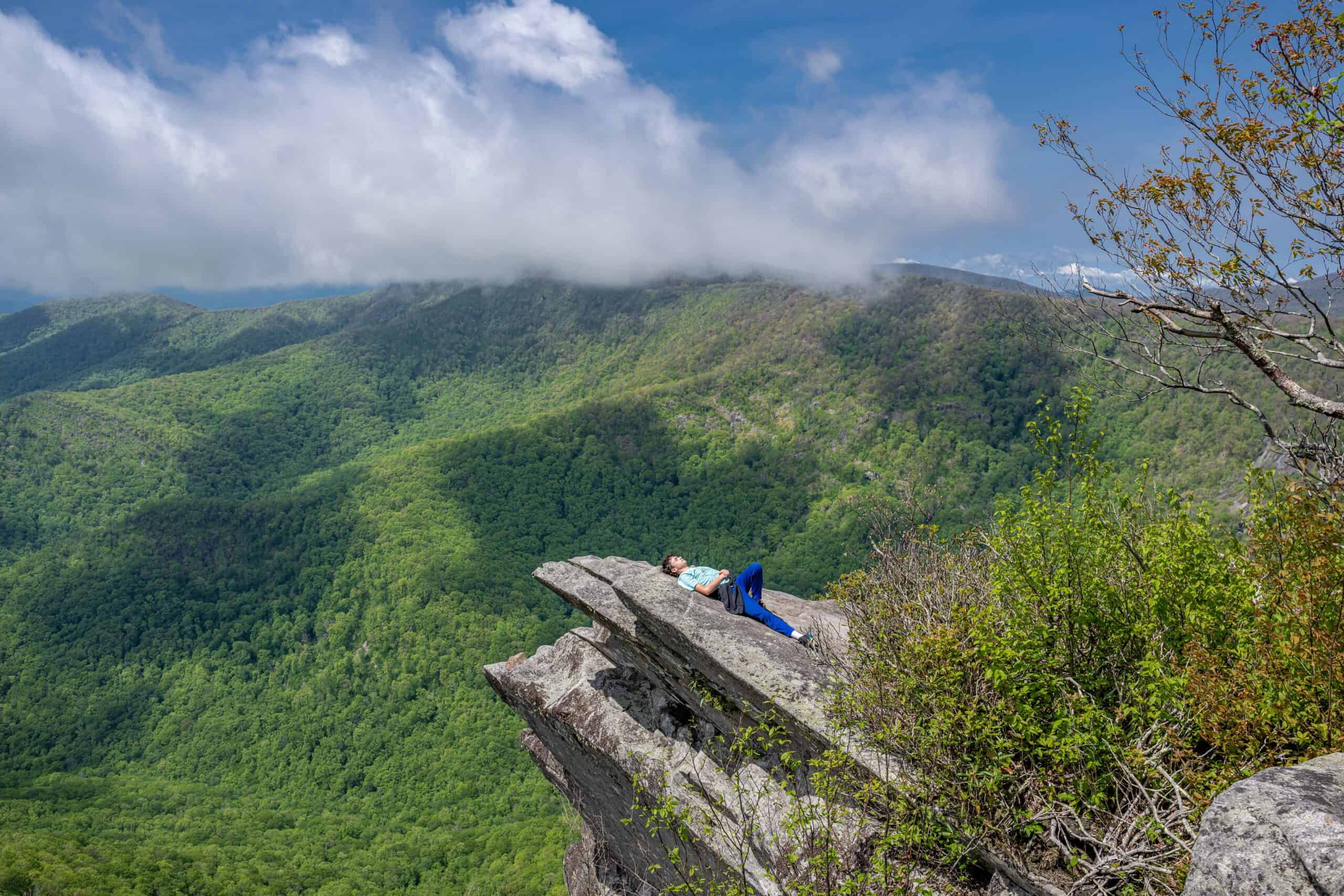
The widely praised American naturalist William Bartram was awestruck when he laid eyes on the mountains of Western North Carolina for the first time in the mid-1770s. Bartram explored present-day Franklin and the Great Smoky Mountains in 1775, becoming one of the first Americans to seriously explore the largely unknown geography and wildlife of the Smokies.
Traveling from Charleston, SC, Bartram spent several weeks in the Southern Appalachians. In doing so, the Quaker from Pennsylvania developed a deep fondness for the region, particularly the Cherokee people. Bartram spent much of his time in Cowee, a large Cherokee village in modern day Macon County.
Moving westward with the hopes of exploring more of WNC that year, Bartram suddenly stopped near Andrews, turned around and went back to Cowee. If you have seen what Franklin and the surrounding area has to offer in terms of natural beauty, it’s not hard to understand Bartram’s reasoning for making the abrupt U-turn in the spring of ’75.
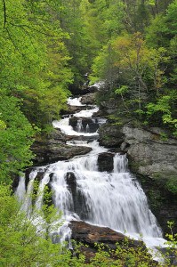
One thing he most definitely saw and longed for after leaving was panoramic, breath-taking views of mountain waterfalls. Fortunately for us, this is something we can still see and fully appreciate today. Below is a list of noted waterfalls in the Franklin area and the surrounding region. Gear up and take the family out for a memorable outdoor excursion. Whether you’re visiting or have lived here your entire life, the waterfalls below are sure to offer views pleasing to anyone’s sight, regardless of your age or background.
Please don’t forget to take a device to capture what you see. Be safe and enjoy your picturesque moment!

Glen Falls – Travel 3 miles south on NC 106 from Highlands. Turn left on U.S. Forest Service Rd. and look for the “Glen Falls” marker. It’s a one-mile trail to the falls, a rather steep and rough incline.
Rufus Morgan Falls – Take U.S. 64 for 3 miles before turning right upon seeing the Wayah Bald directional sign. Take first left onto Wayah Road and drive about 6.5 miles before turning left at F.S. Road 388. The falls is 2.2 miles on the right.
Big Laurel Falls – Travel west for 9 miles on U.S. 64 and turn left on Wallace Gap Road and drive about 1.5 miles. Turn right on F.S. Road 67 (toward Standing Indian Campground) and go 7 miles. The trail runs along an old railroad grade. Once you pass over the bridge, it splits; right ends at Big Laurel Falls.
Looking Glass Falls – Take 276 from Brevard. Falls is about 4 miles north of Ranger Station. Parking area is marked and it’s only a short walk to the falls.
Mooney Falls – See directions to Big Laurel Falls; continue for .7 mile past Big Laurel Falls trailhead. Take the short trail that descends to Mooney Falls.
Tom’s Branch Falls – See directions to Indian Creek Falls. It’s located about a quarter-mile from Deep Creek Campground.
Indian Creek Falls – From Bryson City, take “Deep Creek Rd.” north 3 miles until you get to Deep Creek Campground in the GSMNP. It’s a one-mile, easy hike to the falls.
Rainbow Falls – From Cashiers, take U.S. 64 to N.C. 281 South. The trail to the falls is 2 miles from the intersection.
Sliding Rock – Take 276 North from Brevard; the falls is 7 miles north of the Ranger Station.
Cullasaja Falls – Visible from U.S. 64, 11 miles east from Franklin and 9 miles west from Highlands. The trail to the falls is a half-mile trek through steep, rough terrain.
Bridal Veil Falls – Located 2.5 miles west of Highlands on U.S. 64.
Whitewater Falls – From Cashiers, take U.S. 64 east 10 miles to “Whitewater Road.” Falls are located 10 miles south on the road, near the NC-SC state line. The falls can also be reached from N.C. 107, south of Cashiers.
Courthouse Falls – Take U.S. 64 East to N.C. 215 North; travel 10 miles and take a right on Courthouse Creek Road. The trailhead is well marked.
Toxaway Falls – The falls can be viewed as you cross the Toxaway River on U.S. 64 East near Rosman.
Dry Falls – Located about 3.5 miles west of Highlands near U.S. 64.
Juneywhank Falls – See directions to Indian Creek Falls; Juneywhank is one-quarter mile downstream from Indian Creek.
The aforementioned waterfalls are by no means the only few in Franklin and the surrounding region to gaze upon. Notably, a nice little falls is located on Section 4 of the Bartram Trail, near the Wallace Branch Trailhead; a few miles west from downtown Franklin. It’s an excellent opportunity to hike and take in a great view, much like Bartram did a few centuries before.
For more information about the sites or other locations, please contact the Franklin Chamber of Commerce at 828-524-3161 or toll free at 1-866-372-5546.


